Yosemite National Park is a vast expanse of granitic terrain (over 3000 square kilometers) of overwhelming geological richness, which offers breathtaking scenery at every turn of the head.
Located in the northern part of California’s Sierra Nevada (a vast mountain range over 600 km long with a succession of geological singularities), it is a traditional meeting point for climbers and mountaineers. The Sierra Nevada is home to some of the most famous mountains in the world and is also home to other fascinating places such as the Sequoias National Park, Mount Whitney or Lake Tahoe.
California is the third largest state in the U.S. (it has more than 90% of the total area of Spain), the most populated (more than 39 million people), and the one with the largest economy (if California were an independent country, its gross domestic product would be among the top 10 countries in the world, definitely ahead of Spain in that ranking).
Southern California borders Mexico, Nevada and Arizona. It has several desert areas (such as the famous Death Valley, the Mojave Desert, the Joshua Tree Desert, or the Anza-Borrego Desert). The climate is very warm and rainfall is infrequent.
The center and north, however, are wetter areas with colder and more unstable weather. When I was able to visit San Francisco or Napa Valley, there was always a rainy day. The Sierra Nevada mountainous area is very steep and clouds tend to park on the peaks and precipitate. You can’t rely on good weather as far in advance as you buy airline tickets, so you have to be flexible – and creative.
Yosemite has five entry points, four of which are in the western part of the park. The fifth is a mountain pass to the east, near the Nevada state border, but being so high, it is usually impassable between October and May -I visited it in the fall-. Driving from Las Vegas you have to go around the southernmost edge of the Sierra Nevada mountains, leaving it to the right as you go towards the Pacific Ocean, and then turn north: that’s more than 750 km. -Thus, forced to spend a night in the route, you can stop to visit some of the other points of interest and enjoy the journey.
Sherman Pass Road
The highest peak in the 48 contiguous states is Mount Whitney at 4421 m (1,421 ft). It is located in the southern part of the Sierra Nevada and, taking the normal route to Yosemite, we would leave it on the right as we round the southern end of the range. But, why would we do a normal route and arrive directly and rested to our destination if we have the option of finding a narrow mountain road pass, closed for impracticable most of the year, but that once well inside, at the top, allows us to see Mount Whitney in the distance? Right? Well, that’s what I said. Meet Sherman Pass Rd – which on the day of my route was open according to the U.S. Forest Service.
An advantage of this pass is that it crosses the Sierra Nevada transversely, so using it the trip is shorter than going around the sierra. A small disadvantage is that, being a mountain road in not very good conditions, the trip takes an hour and a half longer, through winding curves and with no one around (it is not a busy road in autumn/winter).
The first part of Sherman Pass Rd is called Nine Miles Canyon Road, and is a wide and reasonably paved mountain road. As the junction with the main road was half hidden, I stopped at a gas station and asked some people in Jeep Wranglers who looked like locals. They weren’t locals, since they were coming from Los Angeles, but they did know how to get in because they were going to spend the night bow hunting. So I followed them.
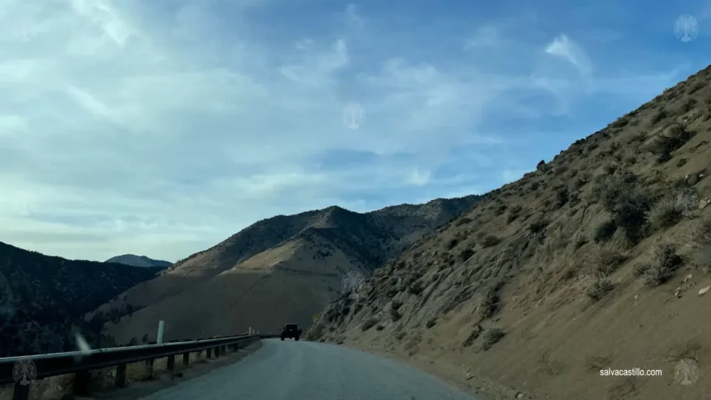
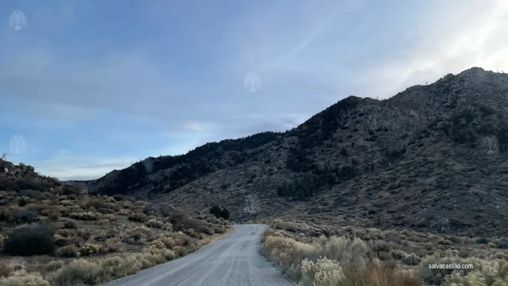
When I arrived at Kennedy Meadows – a small settlement reached after about a quarter of the way through – the forest service had posted a warning sign about road conditions: ice and snow, and snow chains advisable if not traveling in a 4×4.

I didn’t have much water or food left, it was getting dark, I had no chains -rental car- or thermal blanket, and I had 90 minutes of a pitch black, high mountain road ahead of me with no one around for miles. I decided to make a U-turn.
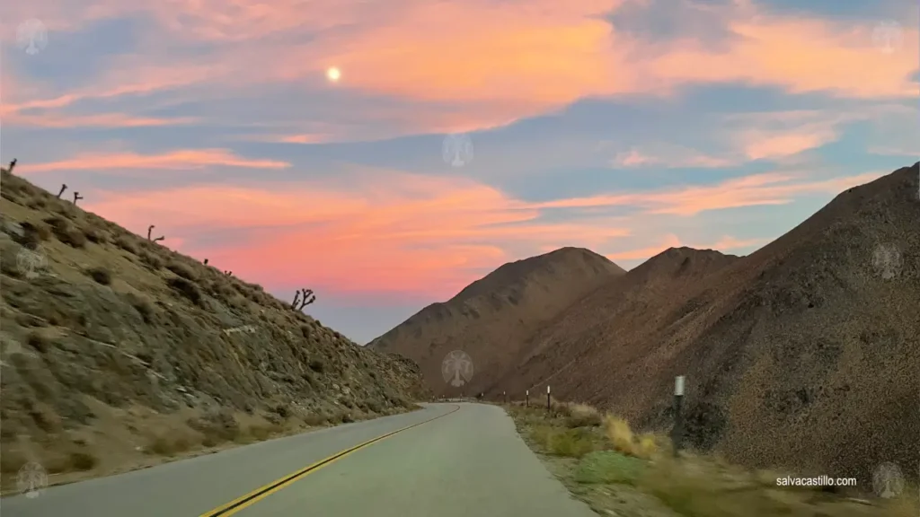
Now I had to retrace my steps and return to the junction south of the Sierra Nevada to go around it and leave it on my right. In this little adventure I had added about two and a half hours of extra time to the original route.
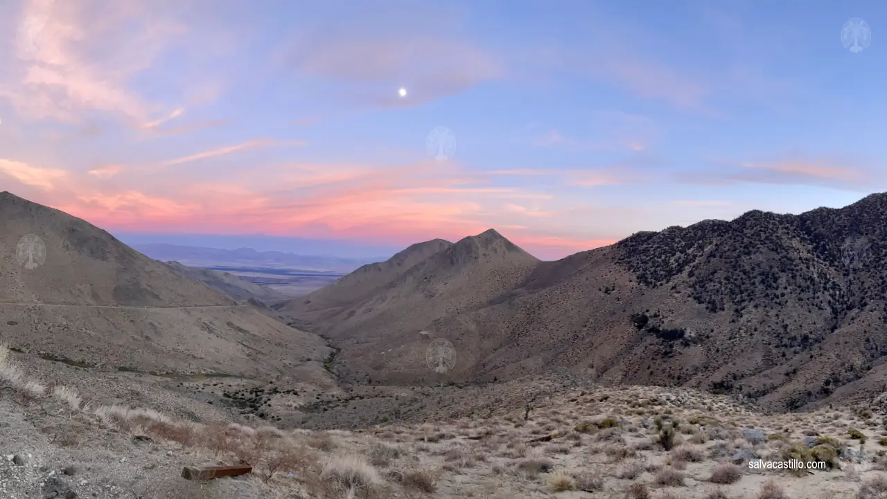
But what a cool road I rode on with these sunset views I got in return.
Wavona Road – Tunnel view
In the vicinity of Yosemite the landscape changes radically to give way to large trees and the north-facing parts of the road are snow-covered.
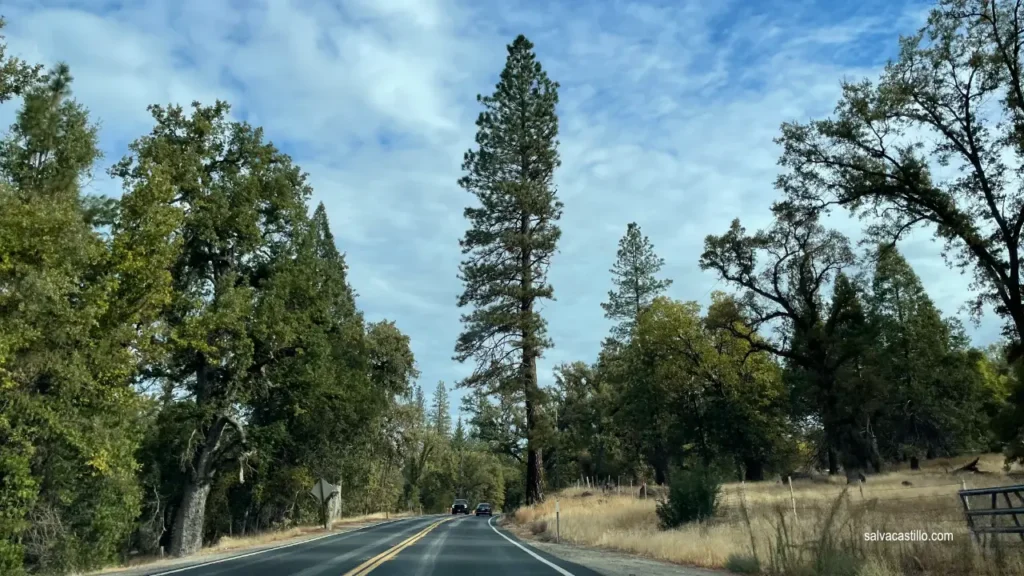
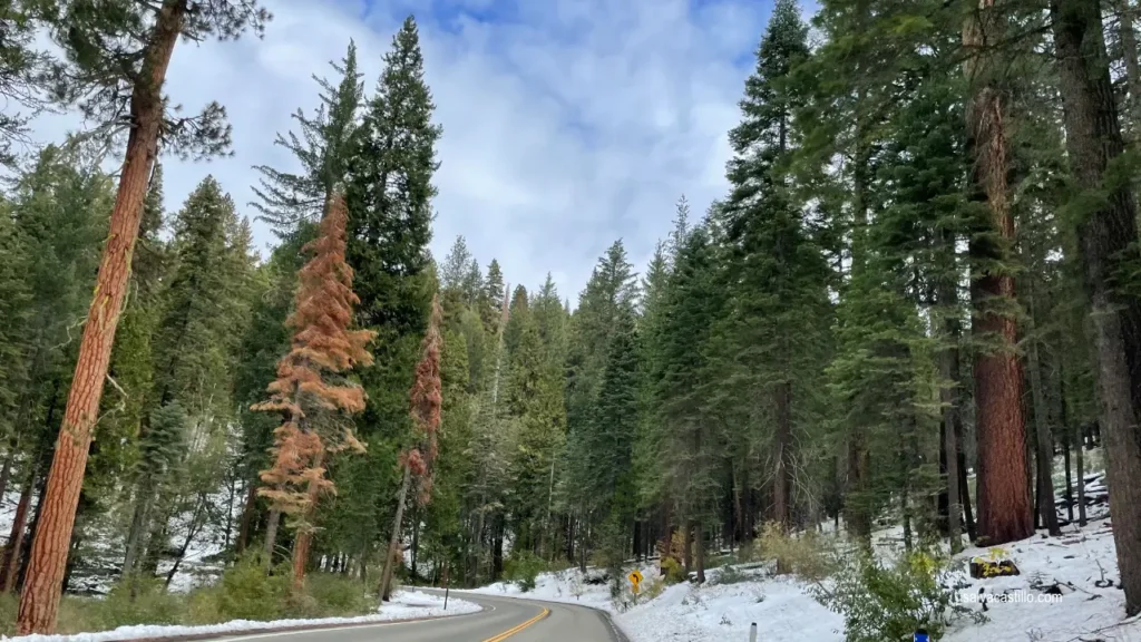
Arriving from Oakhurst –a town that in 1912 changed its name from the former “Fresno Flats” at the request of a neighbor who didn’t like to be reminded of a robbery that once took place there (that’s America xD)-, you can enter through the Wavona Rd tunnel to encounter a breathtaking view of several of the park’s major mountains.
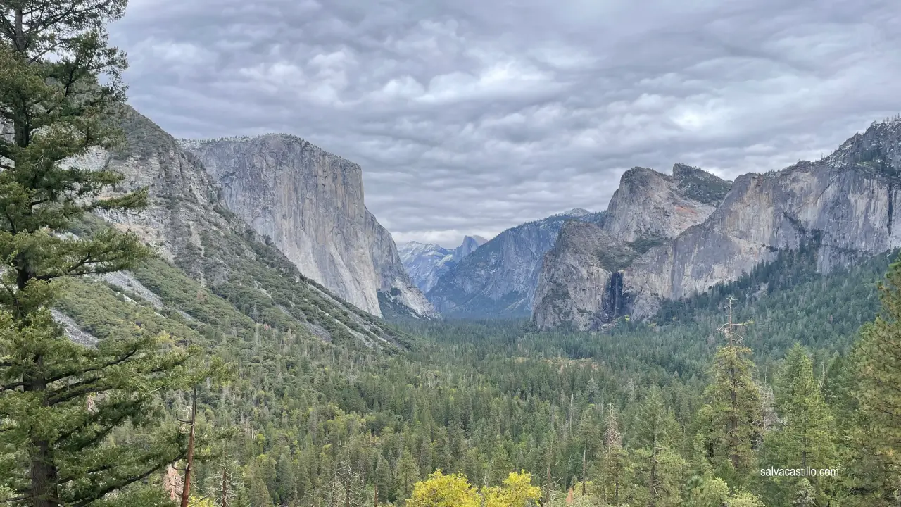
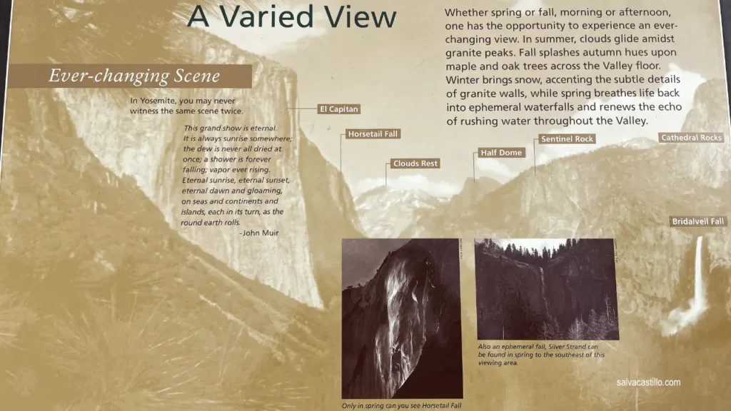
It is the first visual contact with El Capitan and Half Dome, mythical temples of climbing. You can also appreciate one of the many waterfalls that adorn the park, the Bridalveil waterfall.